
Lost Lake 200k

LOST LAKE 200K, ROUTE 3356
AUTHOR: Jay Nadeau, RUSA#10004, Approved 2024
START LOCATION: Gresham
DISTANCE: 201km
UNPAVED: APPROX 18km
ELEVATION: APPROX 3269m
Route leaves Gresham to pass through Pleasant Home, Marmot, controle in Brightwood, up and out Lolo pass on NF-18 to Lost Lake. If you're familiar with cycling in the area these are not uncommon cycling roads - a difficult and rewarding route.

Lost Lake 200k pre-ride 2024 report! by Jay Nadeau
Everyone, sign up for this ride--it's the best. Very low traffic throughout, amazing scenery, good hills. It starts out with just a few miles of the Springwater from Gresham City Park, then quickly gets off and heads to Dodge Park and the usual Ten Eyck--Shipley--Marmot bypass of Route 26. Almost no traffic on any of these roads. Turning left onto Barlow Trail, there's a sign "Road Closed 1.5 miles ahead" that's been there for years, but they're actually repairing the spot now. You'll have to get off to walk around the bulldozers, but there shouldn't be active work on weekends.Lolo Pass has lots of running water off to the sides but the road was dry until the gravel section. The sign that says "Lolo Pass 5" is a terrible lie--it's about 7.5 miles to the top from the sign. The view of Mt Hood from the top showed just how covered with snow the mountain still is! There was one patch of snow that I had to walk just past the Lolo summit, on the part of the gravel that's uphill in the outbound direction. By next week it might be gone. Lolo Pass appeared to be open to traffic, as there were a couple of cars that went through and no gate. Also saw quite a few road bike tracks in the gravel. Not many people heading to Lost Lake despite the surprisingly warm weather. Road dry. There were so few people that I was afraid the store would be closed, but it was open and pretty crowded. I stocked up well because despite having less climbing, the return trip is almost as hard as the outbound. You're usually battling a headwind in this direction (today was no exception) and the gravel section is now uphill. The gravel is pretty smooth and hard-packed at the moment, though there were a couple of sections with remains of downed trees--watch out for branches.
I thought about having a picnic at the top, but felt a few raindrops and decided to get off the mountain before any more blew in. Instead I stopped for a snack at Barlow Wayside Park, which would also make a good staffed control, especially in cooler weather when you don't want to linger up high. This provided the energy needed to tackle windy Marmot and that last pitch out of Dodge Park. Clouds were seriously blowing in to Portland as I headed west, so it was a good choice to do the ride Saturday instead of Sunday. In all, a great ride in nearly perfect weather, just over 10,000 feet of climbing.
Registration open until midnight on Wednesday, 6/24/26.
Email to follow on 6/25/26 with waiver and cue sheet.
Check-in 5-5:55 a.m. Ride start: 6 a.m.
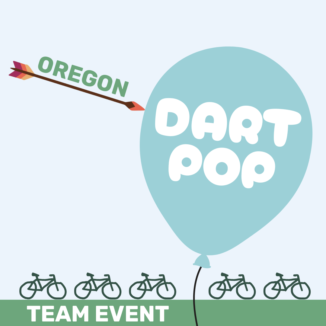
Oregon Dart Pop 120k
Ok folks, join us for the Portland Summer Dart Populaire, a Randonneurs USA (RUSA) sanctioned team event. Unlike a standard brevet the DART POP is about strategy, teamwork and navigating your own 120+ km route to arrive at a common destination.
Teams of 3 to 5 (machines) will design their own unique, scenic routes through the pacific northwest aiming to finish together in SE Portland on Saturday July 11.
There are some unfamiliar rules for most that can be found on the RUSA site.
This type of event is new for the current ORR admin so thank you in advance for your patience. This page to be updated with more info as we get closer to the event.
Registration open until midnight 7/8/26
Email to follow on 7/9/26 with waiver
Check-in 7-7:55 a.m. Ride start: 8 a.m.
Finish time: 4 p.m.
Distance: MINIMUM 120k
Duration: 8 hours
Finish location: SE Portland near 59th & Madison

Deepwoods Dabble 300k

As with the other Breadcrumb Series routes, Deepwoods Dabble is remote, hilly, and scenic. It'll be a great adventure and excellent prep if you're planning on doing the 8k600. The route heads out via some classics Marmot, Barlow Trail, and the well-groomed gravel of Still Creek. It swings by Govy for a resupply, then heads out into some really remote areas on the south flank of Mount Hood. Skyline Road/NF-42 takes you near, but not quite to Timothy Lake, and then down to a staffed support station at the Clackamas River. Next comes a short out-and-back up to the summit of NF-46 for a great view. Finally, roll back to the support station for another round of snacks, and then it's back home along the Clackamas.
Services are very sparse on this route and hours can be erratic. Carry three bottles or a filter. There is no cell service for much of the route. Be prepared to bail yourself out if needed. A Spot or Garmin InReach are advised.
Registration open until midnight 7/22/26.
Email to follow on 7/23/26 with waiver and cue sheet.
Check-in 5-5:55 a.m. Ride start: 6 a.m.
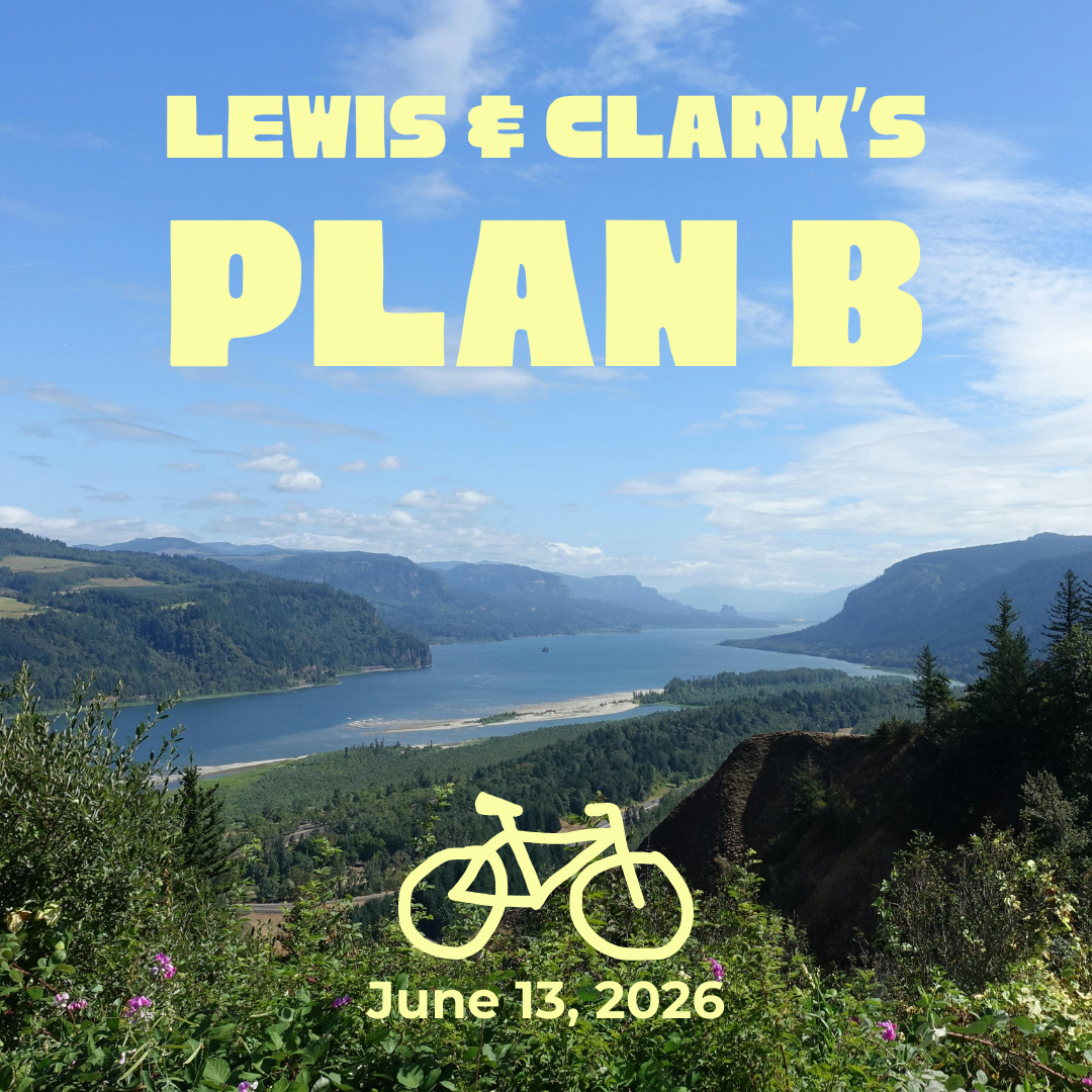
Lewis & Clark’s Plan B 400k
A ride through Southwest Washington and Northwest Oregon, focusing on the Lower Columbia River, the Willapa Hills, and the Oregon Coast Range.
Start/Finish in downtown Portland, leaving the city via bike boulevards - Interstate Bridge - Downtown Vancouver. SW Wash suburbs: Felida, Ridgefield, La Center, and Woodland - challenging ramps on Green Mountain - byways paralleling I-5 to Kelso/Longview - WA-4 west, and some scenic and challenging detours, through Cathlamet, Skamokawa, KM Mountain, and Naselle to the Astoria Bridge. Stock up on overnight essentials in Astoria. OR-202 over Tidewater Summit, through Nehalem Valley, a late night food stop at Big Eddy Park, Vernonia, Banks-Vernonia Trail, Tualatin Valley, and a swift downhill into Portland and the finish.
Gravel: 5.6km.
Lewis and Clark never knew what they missed!
TENTATIVE ROUTE (NOT YET APPROVED BY RUSA) Ride With GPS link
Registration open until midnight on Wednesday, 6/10/26.
Email to follow on 6/11/26 with waiver and cue sheet.
Check-in TBD
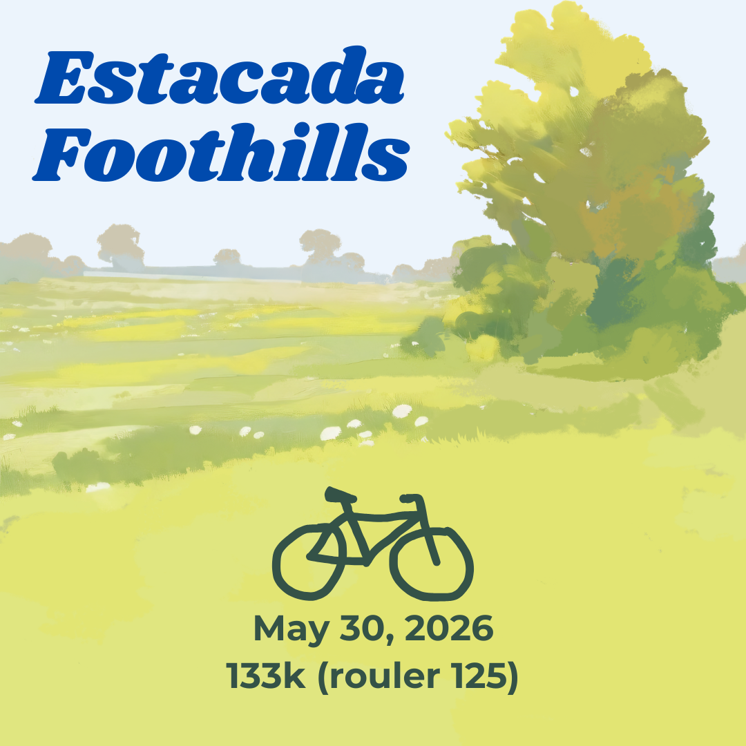
Estacada Foothills 133k (Rouleur 125)
This route uses the Springwater Corridor to leave the city and explores two hilly loops through the headwaters of Eagle Creek. Note there can be heavy, fast traffic on OR 211. The left turn from busy OR211 onto Tickle Creek Road at mile 58.8 has poor sight lines and may require care and patience to be taken safely.
The Start/Finish is located conveniently for Portlanders, also via Trimet MAX Orange Line (Bybee Station). There is ample free, curbside parking in the neighborhood.
Registration open until midnight on Wednesday, 5/27/26.
Email to follow on 5/28/26 with waiver and cue sheet.
Check-in TBD
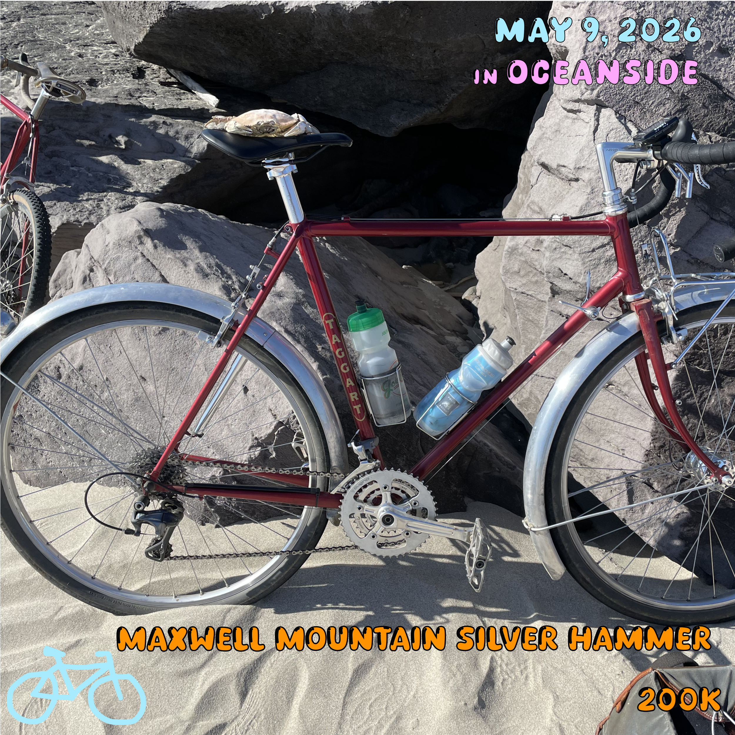
Maxwell Mountain Silver Hammer 200k
The stretch between Cape Meares and Cape Kiwanda is one of the few stretches of Pacific Coast where highway 101 isn’t directly on the Ocean. On most coastal rides, this glorious section passes by all too fast. If you’ve done Three Capes 300k, you know what I’m talking about. The intent with Maxwell Mountain 200k is to maximize your time spent “on the coast but not on Highway 101.”
We’ll start and end in Oceanside. The several hundred foot cliff surrounding the town is Maxwell Mountain. Lodgings are plentiful, there are a few cafes in town, and there’s a grocery store in nearby Netarts. Riders are encouraged to coordinate room and ride sharing on our Slack group. Please reach out if you have any trouble and I can help out.
The route takes you along Netarts Bay, over Cape Lookout, and into the dunes of Pacific City. After the first highway stretch, you’ll detour into the coast range for some extra punchy climbing. There’s a tiny stretch of gravel climbing along the way (about a mile) but nothing to worry too much about. After the summit, a ripping descent takes you back west. Make sure to stop at Left Coast Coffee at the southern end of Lincoln City. Then you’ll head back north along Devils Lake and then hop on 101 again.
Here you’ll hit the only sketchy section on this route (marked with a POI). It’s really brief but might take you by surprise after all the really chill riding. Right near the Bluebird Station Bicycle Company ironically, the shoulder on 101 disappears along an inside corner, which will hide you from cars. Put on your vest, take the lane, do whatever you need to ensure that somebody doesn’t sneak up on you in the middle of that turn.
Another jam over Slab Creek puts you back in Neskowin. There are a few tiny detours here that get you off 101, that you didn’t do outbound because it would have required crossing the road. Then it’s back over Cape Lookout and along the bay back into Oceanside. Take a quick shower, grab some food, and head on down to the beach to watch the sunset!
Registration open until midnight on Wednesday, 5/6/26.
Email to follow on 5/7/26 with waiver and cue sheet.
Check-in 6ish-6:55 a.m. Ride start: 7 a.m.

New Covered Bridges 400k
Join OREGON RANDONNEURS for another great 400k! Start near Gabriel Park near Multnomah Village in SW Portland. Head south through Oregon City, Silverton, Stayton, Lebanon, Brownsville. and turn back at Harrisburg, through Albany, Independence, Dallas, Dayton, Sherwood, Tualatin, and into Portland. All the while, check out four covered bridges and bucolic Oregon scenery. The route is similar to Eden’s Gate with reasonable changes made for safety and start location.
UPDATED start location: Starbucks, 7421 SW Barbur Blvd, Portland, OR 97219
Distance: Approx. 410 km
Elevation: Approx. 2995 m
Gravel: 2 km
Registration open until midnight on Wednesday, 4/29/26.
Email to follow on 4/30/26 with waiver and cue sheet.
Check-in 5ish-5:55 a.m. Ride start: 6 a.m.
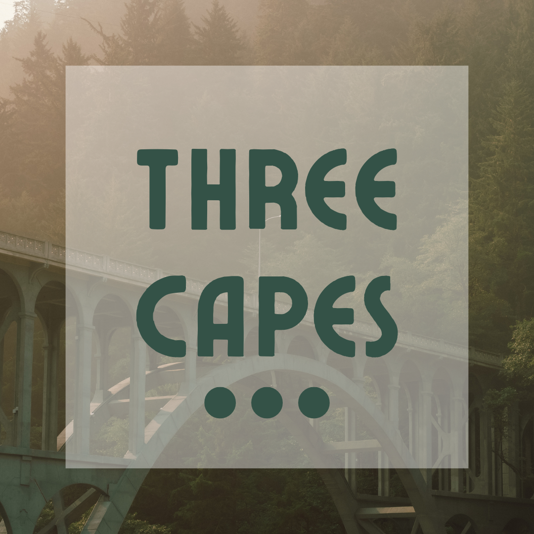
Three Capes 300k
Registration open until midnight on Wednesday, 4/1/26.
Email to follow on 4/2/26 with waiver and cue sheet.
Check-in 5ish-5:55 a.m. Ride start: 6 a.m.

Nouveau Grab Bag 200k/300k
Hi ORR and guests,
Welcome to Nouveau Grab Bag 2026, where you have the opportunity to ride 200/300k distances.
Here’s a few links to the routes if you’re curious (These routes are subject to change post pre-ride!):
Thanks to Johnmark Larson, RUSA #15962
Thanks to Alex Brey, RUSA #10724
Registration open until midnight on Wednesday, 3/11/26.
Email to follow on 3/12/26 with waiver and cue sheet.
Check-in 5ish-5:55 a.m. Ride start: 6 a.m.

St Johns Big Eddy 150k
Registration open until midnight on Wednesday, 3/4/26.
Email to follow on 3/5/26 with waiver and cue sheet.
Check-in 6ish-6:55 a.m. Ride start: 7 a.m.

Webfoot 125k
Registration open until midnight on Wednesday, 2/18/26.
Email to follow on 2/19/26 with waiver and cue sheet.
Check-in 7ish-7:55 a.m. Ride start: 8 a.m.
Rickey’s Populaire 100k
No GPS currently available. Actual historic ancient relic cue sheet below. Pre-riders to record and send GPS to registrants - cue sheet may be invalid in places.
Registration open until midnight on Wednesday, 1/21/26.
Email to follow on 1/22/26 with waiver and cue sheet.
Check-in 7ish-7:55 a.m. Ride start: 8 a.m.
Time limit: 6:40

PBP Planning Planning Meeting
This is a very casual PBP planning meeting - like a planning planning meeting for folks who have some questions about maybe going to PARIS BREST PARIS in 2027.
RBA Michael Powell Parich will be there and maybe a few other ancien will be there to talk about:
Preparation
Pre registration
Registration
Qualification
Favorite French Foods and how to eat around your dietary restrictions
By "very casual" I mean we're not going to reserve space unless there is an overwhelming response. For now, we're going to meet at Zoiglhaus - a food card pod with a cover and beer - we'll grab a table and have a few items ready to discuss.
We may not be able to answer all your questions but if you're thinking about PBP in 2027 then you have enough time.
Ancien/Ancienne: YOU ARE INVITED TO COME ALONG AND SHARE YOUR EXPERIENCE, remember when you were excited and nervous to travel over an ocean to ride one of the most amazing bicycle experiences? What did you want to know?

HDH/HLH 100k/200k
Registration open until midnight on Wednesday, 12/31/25.
Email to follow on 1/1/26 with waiver and cue sheet.
Check-in 6ish-6:55 a.m. Ride start: 7 a.m.

Portland Trails & DB Cooper 150k
Late season Rouleur through Portland and Vancouver to view a sandbar made famous by the PNW’s most infamous. Gresham to Milwaukie, north to Kelley point and back east to the troutlets.
Registration open until midnight on Wednesday, 12/10/25.
Email to follow on 12/11/25 with waiver and cue sheet.
Check-in 7ish-7:55 a.m. Ride start: 8 a.m.
Webfoot 125k
Registration open until midnight on Wednesday, 12/3/25.
Email to follow on 12/4/25 with waiver and cue sheet.
Check-in 7ish-7:55 a.m. Ride start: 8 a.m.

‘teenth Annual Verboort Sausage Fest Populaire 100k
Once an annual populaire that finished at the VERBOORT SAUSAGE FEST in VERBOORT OREGON - we lost count after the pandemic cancellations. Learn more about the verboort sausage fest here https://www.verboort.org/dinner (tw:meat)
Registration open until midnight on Wednesday, 10/29/25.
Email to follow on 10/30/25 with waiver and cue sheet.
Check-in 7ish-7:55 a.m. Ride start: 8 a.m.

Banks Elsie 200k
START LOCATION: Banks Vernonia Trailhead Parking Lot (address on the map is approximate)
Registration open until midnight on Wednesday, 10/8/25.
Email to follow on 10/9/25 with waiver and cue sheet.
Check-in 7ish-7:55 a.m. Ride start: 8 a.m.
St Johns Big Eddy 150k
Registration open until midnight on Wednesday, 10/1/25.
Email to follow on 10/2/25 with waiver and cue sheet.
Check-in 7ish-7:55 a.m. Ride start: 8 a.m.
Lost Lake 200k
LOST LAKE 200K, ROUTE 3356
AUTHOR: Jay Nadeau, RUSA#10004, Approved 2024
START LOCATION: Gresham
DISTANCE: 201km
UNPAVED: APPROX 18km
ELEVATION: APPROX 3269m
Route leaves Gresham to pass through Pleasant Home, Marmot, controle in Brightwood, up and out Lolo pass on NF-18 to Lost Lake. If you're familiar with cycling in the area these are not uncommon cycling roads - a difficult and rewarding route.
Lost Lake 200k pre-ride 2024 report! by Jay Nadeau
Everyone, sign up for this ride--it's the best. Very low traffic throughout, amazing scenery, good hills. It starts out with just a few miles of the Springwater from Gresham City Park, then quickly gets off and heads to Dodge Park and the usual Ten Eyck--Shipley--Marmot bypass of Route 26. Almost no traffic on any of these roads. Turning left onto Barlow Trail, there's a sign "Road Closed 1.5 miles ahead" that's been there for years, but they're actually repairing the spot now. You'll have to get off to walk around the bulldozers, but there shouldn't be active work on weekends.Lolo Pass has lots of running water off to the sides but the road was dry until the gravel section. The sign that says "Lolo Pass 5" is a terrible lie--it's about 7.5 miles to the top from the sign. The view of Mt Hood from the top showed just how covered with snow the mountain still is! There was one patch of snow that I had to walk just past the Lolo summit, on the part of the gravel that's uphill in the outbound direction. By next week it might be gone. Lolo Pass appeared to be open to traffic, as there were a couple of cars that went through and no gate. Also saw quite a few road bike tracks in the gravel. Not many people heading to Lost Lake despite the surprisingly warm weather. Road dry. There were so few people that I was afraid the store would be closed, but it was open and pretty crowded. I stocked up well because despite having less climbing, the return trip is almost as hard as the outbound. You're usually battling a headwind in this direction (today was no exception) and the gravel section is now uphill. The gravel is pretty smooth and hard-packed at the moment, though there were a couple of sections with remains of downed trees--watch out for branches.
I thought about having a picnic at the top, but felt a few raindrops and decided to get off the mountain before any more blew in. Instead I stopped for a snack at Barlow Wayside Park, which would also make a good staffed control, especially in cooler weather when you don't want to linger up high. This provided the energy needed to tackle windy Marmot and that last pitch out of Dodge Park. Clouds were seriously blowing in to Portland as I headed west, so it was a good choice to do the ride Saturday instead of Sunday. In all, a great ride in nearly perfect weather, just over 10,000 feet of climbing.
Registration open until midnight on Wednesday, 9/10/25.
Email to follow on 9/11/25 with waiver and cue sheet.
Check-in 5-5:55 a.m. Ride start: 6 a.m.

Eternity Longwaddle 400k
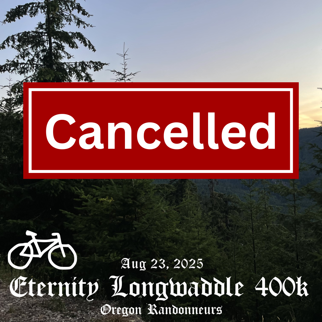
Hi all,
I regret to say we’re cancelling Eternity Longwaddle for this year. Jay and I test rode over the weekend. The road closure on NF-25 is very strict and includes bikes. We played around with some alternative routings, but don’t think any of them are viable. I thought we had an option going through the gorge, but it turns out that’s closed at Vista House! The other option, Babyshoe Pass, would just be too hard as a 400k.
So, let’s try again in a future year. Thanks again for your enthusiasm.
Lost Lake 200k is still on for Sept. 13. Hope to see you all then to round out the Breadcrumb (almost) Series.Best,
Alex
The title of this route refers to a goose who gets lost in the forest. After a time, they return home but are forever changed.
In 2021 Seattle Randonneurs ran their annual team event, Fleche NW, in July rather than May due to the pandemic. Our Breadcrumb Series hosts, Jay and Alex, decided to attempt an epic adventure: a point-to-point ride to Olympia via Oldman and Elk Pass. Though the riders completed the route, they were over time. Thus, a legendary challenge was born.
There's a bit of gravel on this route. It takes you up to Chelatchie via Silver Star, and then over to the Wind River Valley via abandoned Forest Road 54. We have Oldman Pass, a resupply in Northwoods, and then Elk Pass. Once you get to Randle, the big climbs are all done and we have a rolling return to the city. We conclude at the traditional SIR basecamp in Tumwater, only a short ride from the Amtrak station.
Services are very sparse on this route and hours can be erratic. Carry three bottles or a filter. There is no cell service for much of the route. Be prepared to bail yourself out if needed. A Spot or Garmin InReach are advised.
Registration open until midnight 8/20/25.
Email to follow on 8/21/25 with waiver and cue sheet.
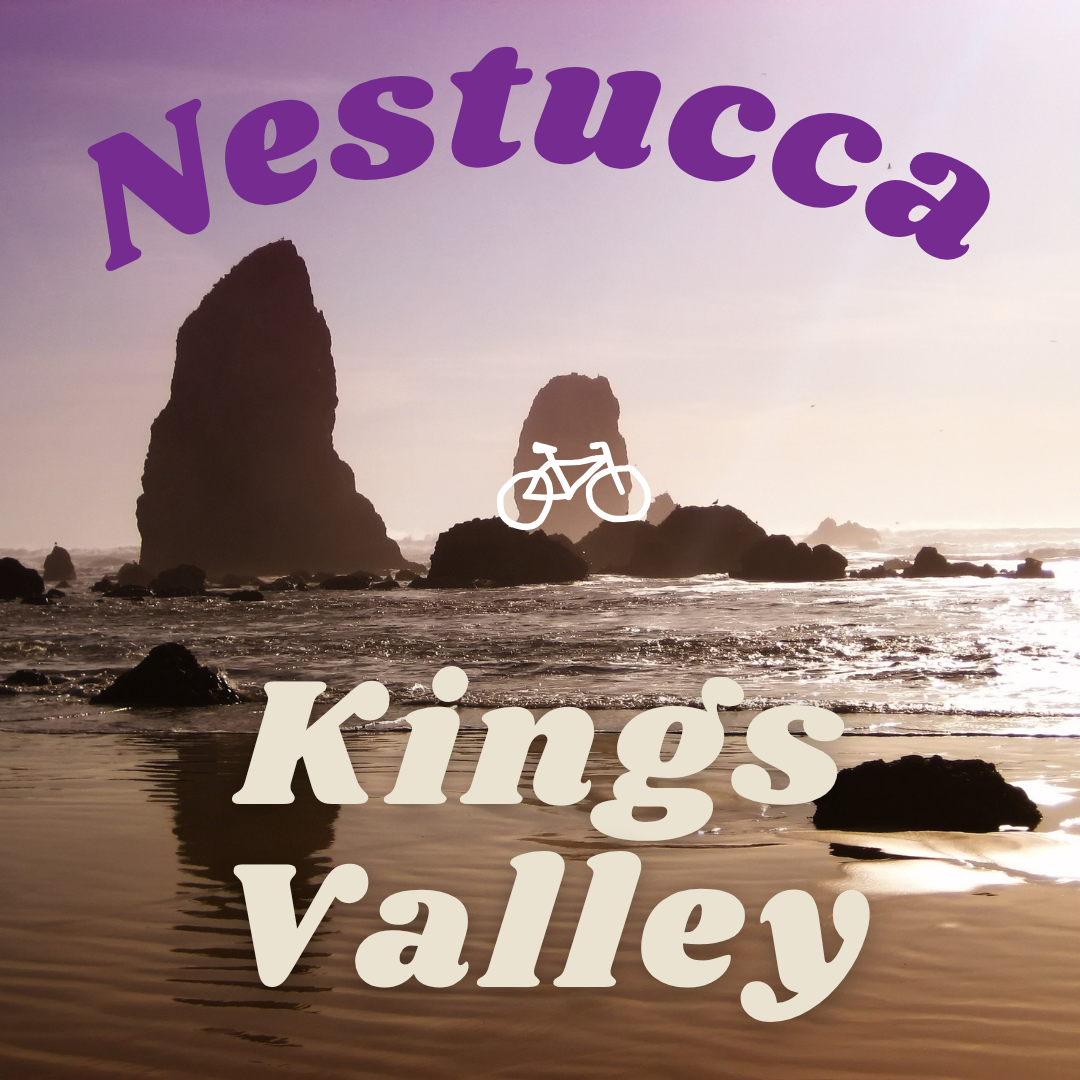
New Nestucca / Kings Valley 400k
New Kings valley/Nestucca is a route borne from RUSA Brevet 1420 - this new route has approximately 20km of gravel and does a nice big climb early in the ride to start a southward tour of the Oregon coast. Just south of Lincoln City the rider takes a turn inland through Siletz and Kings Valley, to head back north along some familiar ORR roads.
Registration open until midnight on Wednesday, 8/20/25.
Email to follow on 8/21/25 with waiver and cue sheet.
Check-in 5-5:55 a.m. Ride start: 6 a.m.
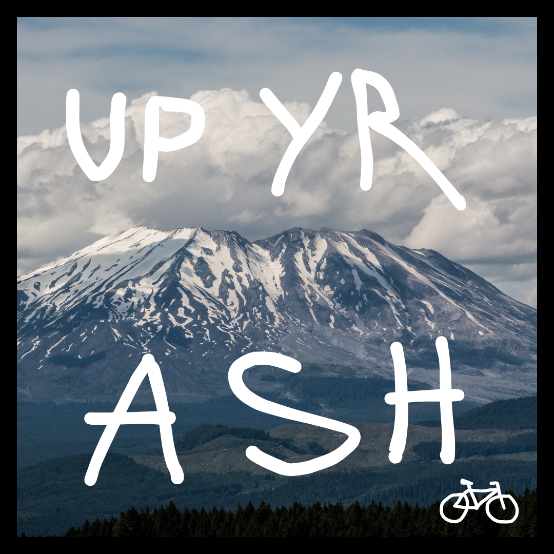
UP YR ASH 200k
200 KM and 2 KM of elevation, let’s ride up a volcano.
One of the (if not THEE) first ORR Brevets, up yer ash is a day of country thoroughfares and sweet vistas.
Join us on JULY 26 for a 200km ACP brevet.
Start location TBD, but will be in Vancouver, WA.
Ride With GPS link (tentative)
Registration open until midnight on Wednesday, 7/23/25.
Email to follow on 7/24/25 with waiver and cue sheet.
Check-in 6-6:55 a.m. Ride start: 7 a.m.

Hood 8k600
The idea for this route was to take the best parts of the Oregon 6 Passes SR600 route but make it doable in 40 hours, allowing it to meet the new 8k600 standard for the R10000 award. That means it has to have at least 8,000 m (26,246 ft) of climbing. We knew it had to have a few critical features: Lolo Pass, Tygh Ridge, Timberline Lodge. The question was where to find the flat-ish miles. The solution we landed on was two stretches out in the desert: one through the rolling hills east of the Dalles, and the other an out-and-back on “Bakeoven Road” to the ghost town of Shaniko.
The elevation and time constraints make for a hard route, but with some of the most awe-inspiring terrain in NW Oregon. You get the city, west slope Douglas Fir forest, east slope Ponderosa Pine forest, sub-alpine forest, and sagebrush steppe. You get a ghost town at midnight, a 1930s Works Progress Administration lodge, a historic trail along the cliffs of an immense river gorge, the wild Deschutes River at dusk; and of course, some of the best climbing around.
The supported overnight is in Maupin, allowing you to do the out-and-back on either side of sleep. We have two rooms at the Oasis Cabin Resort. Sign up here or reserve your own.
Services are very sparse on this route and hours can be erratic. Carry three bottles or a filter. There is no cell service for much of the route. Be prepared to bail yourself out if needed. A Spot or Garmin InReach are advised.
We will be providing drop bag service at the overnight, but asking you to bring your own microwaveable meal in your drop bag.
Registration open until midnight 7/9/25.
Email to follow on 7/10/25 with waiver and cue sheet.

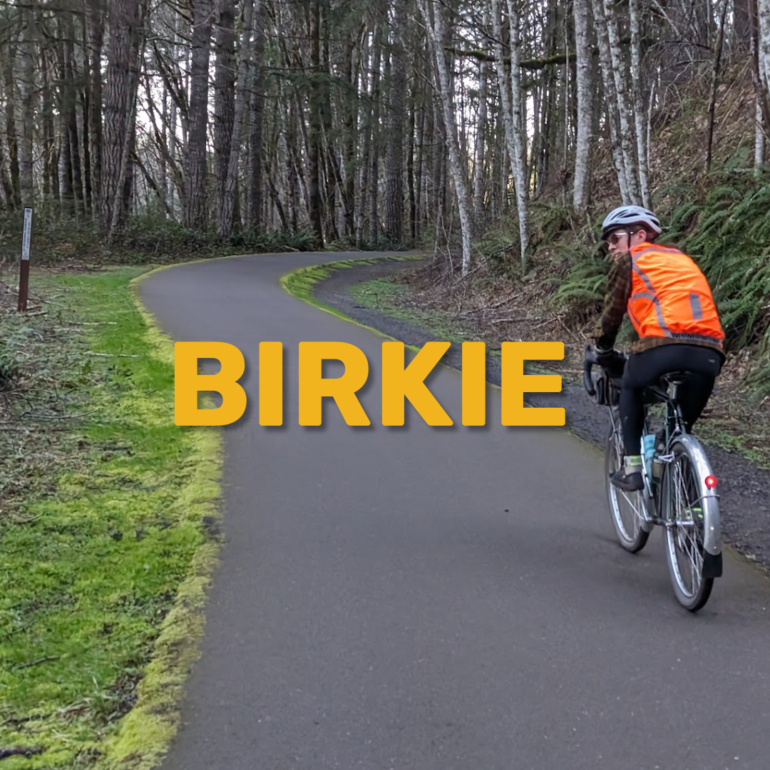
Three Capes 600k / Birkie 200k
Three Capes 600K: Ride report of the first 400, a 2024 pre-ride write up by Johnmark Larson RUSA 15962, with assistance by Sven Gunvalson RUSA 14085:
The dawn rose behind us as we headed up sleepy, dewy Gales Creek towards the promise of a proper big day on the bike. Traffic picked up noticeably on Hwy 6 even at that hour of the morning, folks towing their OHV motor toys out to their own days’ adventures. The shoulder is ample in places, narrower than we’d have liked in others, occasionally broken and bumpy and always strewn with gravel. After the summit the miles piled up quickly with a long gradual downhill all the way to the Tillamook plain, with its distinctive bouquet of sea and livestock.
The coast is full of resupply options and Tillamook (open control) is no exception. Following the 400k route, we headed north along 101 where we encountered multiple narrow bridges with disappearing shoulders. My decision to hop onto one narrow bridge sidewalk led to an uh-oh moment when I realized the opposite end of the bridge featured an abrupt drop with no warning. Otherwise it was a mostly comfortable highway shoulder cruise to Garibaldi where we discovered a hidden gem of a road snaking along the Miami River to the junction with Hwy 53.
The pastoral vibes continued up 53 along the north fork of the Nehalem River. The turnaround control is the Fish Hatchery Lane sign, but finding ourselves in need of a break we proceeded down the lane to find water and restrooms among the outbuildings scattered around the hatchery. We fought fluky headwinds on the return trip downriver to a reward of ice cream and mini donuts at Buttercup in Nehalem.
Next control was Rockaway Beach (open), unfortunately Pronto Pup was as jammed as you’d expect it to be on a perfect summer weekend. The trip back down 101 to Tillamook was uneventful except for those narrow bridges again. Rejoining the 300k route we headed towards Cape Meares into a suddenly stiff headwind along the bay, followed by a steep climb up to the junction with the old road. It’s unsigned - look for a large gravel pull out to the right with a yellow gate beyond. The old road is mostly paved, occasionally broken with some patches of gravel, but easily rideable on a road bike. The break from traffic and the view from the lighthouse control are worth it.
Climbs mean views and we earned them on the way to Pacific City, which was absolutely packed with a holiday dinnertime crowd. The Kiwanda Market was a bad choice, the coolers were out and the registers weren’t working (the solar storm maybe?) so we burned too much time. After crossing the bridge at the south end of town we realized there was another, much less crowded commercial strip including a market at the Shell station. Ah well. The bike lane out of town to 101 held so much gravel that at times it was hard to distinguish it from the soft shoulder.
Hwy 130 along the Little Nestucca River in the cooling evening was sublime. After joining Hwy 22 the traffic increased (those OHV folks heading home, felt like) and there’s no real shoulder, but after the summit with an increasing tailwind we quickly reached Grand Ronde as the sun began to set behind us. 300km riders won’t likely face time pressure, but the markets along the route as far as Sheridan close at 10pm so we made our plans accordingly, opting to motor on to the Sheridan IGA which was a scene on a warm Saturday night.
The full dark (no aurora alas), tailwinds and cool air meant it was time to make miles. Up ahead we spied a bike taillight which turned out to be a fellow rider on the Covered Bridges 400, though he was pushing a good pace and soon left us behind. The control at Ballston Park was hard to spot in the night, but note that it’s at Dejong Road, just prior to a really bad diagonal railroad track crossing. We rolled through Dayton (store closes at midnight) and the last control in Carlton, grateful to bypass the stress of North Valley Road.
Somewhere around 360km, about 11:30pm, the mood shifted as the miles began to sit heavily on our bodies. We could smell the barn. Just after Yamhill, after turning left on Laughlin Road, we heard a dog charging us down a driveway into the road, luckily a firm “NO!” turned it right around. After that the only events that mattered were the rolling hills and the miles that ticked away sluggishly. Has anyone ever been so happy to see a McMeniman’s parking lot?
All in all, an epic route on a perfect day.
Birkie 200k: Join us for a 200k bike ride to Birkenfeld, partially on the Banks-Vernonia Trail. This brevet begins at an old favorite location in Forest Grove and heads into the Coastal Range. We head west along Gales Creek, then onto Highway 6 for a few kms before heading up Timber Road. We continue north along the Nehalem River and into Vernonia, out and back to Birkenfeld, then return along the multi-use Banks-Vernonia Trail. Current forecast says the weather’s awesome. Even if it isn’t, you’re going to have a great time! Distance: approx. 203km; elevation: approx. 1028m.
No Ride With GPS link for Birkie; email Michael for the tentative route.
Registration open until midnight 6/25/25.
Email to follow on 6/26/25 with waiver and cue sheet.
Check in 5:00 - 5:55 a.m.
Deepwoods Dabble 300k
As with the other Breadcrumb Series routes, Deepwoods Dabble is remote, hilly, and scenic. It'll be a great adventure and excellent prep if you're planning on doing the 8k600. The route heads out via some classics Marmot, Barlow Trail, and the well-groomed gravel of Still Creek. It swings by Govy for a resupply, then heads out into some really remote areas on the south flank of Mount Hood. Skyline Road/NF-42 takes you near, but not quite to Timothy Lake, and then down to a staffed support station at the Clackamas River. Next comes a short out-and-back up to the summit of NF-46 for a great view. Finally, roll back to the support station for another round of snacks, and then it's back home along the Clackamas.
Services are very sparse on this route and hours can be erratic. Carry three bottles or a filter. There is no cell service for much of the route. Be prepared to bail yourself out if needed. A Spot or Garmin InReach are advised.
Registration open until midnight 6/4/25.
Email to follow on 6/5/25 with waiver and cue sheet.
Check-in 5-5:55 a.m. Ride start: 6 a.m.

RCCV 200k
Join the OREGON RANDONNEURS for an ACP 200km ride through NW Oregon.
Start in Rock Creek and travel to Clatskanie and return via Vernonia.
Registration open until midnight 5/7/25.
Email to follow on 5/8/25 with waiver and cue sheet.
New Covered Bridges 200k/400k
Join OREGON RANDONNEURS for another great 200k/400k! Start near Gabriel Park near Multnomah Village in SW Portland. Head south through Oregon City, Silverton, Stayton, Lebanon, Brownsville. and turn back at Harrisburg, through Albany, Independence, Dallas, Dayton, Sherwood, Tualatin, and into Portland. All the while, check out four covered bridges and bucolic Oregon scenery. The route is similar to Eden’s Gate with reasonable changes made for safety and start location.
Start location: Gabriel Park, SW Portland
Ride check-in: 5-6 a.m.
Start time: 6 a.m.
Distance: Approx. 410 km
Elevation: Approx. 2995 m
Gravel: 2 km
Registration open until midnight 4/30/25.
Email to follow on 5/1/25 with waiver and cue sheet.
Three Capes 300k/400k
Ride report of the 400, a pre ride write up by Johnmark Larson RUSA 15962, with assistance by Sven Gunvalson RUSA 14085:
The dawn rose behind us as we headed up sleepy, dewy Gales Creek towards the promise of a proper big day on the bike. Traffic picked up noticeably on Hwy 6 even at that hour of the morning, folks towing their OHV motor toys out to their own days’ adventures. The shoulder is ample in places, narrower than we’d have liked in others, occasionally broken and bumpy and always strewn with gravel. After the summit the miles piled up quickly with a long gradual downhill all the way to the Tillamook plain, with its distinctive bouquet of sea and livestock.
The coast is full of resupply options and Tillamook (open control) is no exception. Following the 400k route, we headed north along 101 where we encountered multiple narrow bridges with disappearing shoulders. My decision to hop onto one narrow bridge sidewalk led to an uh-oh moment when I realized the opposite end of the bridge featured an abrupt drop with no warning. Otherwise it was a mostly comfortable highway shoulder cruise to Garibaldi where we discovered a hidden gem of a road snaking along the Miami River to the junction with Hwy 53.
The pastoral vibes continued up 53 along the north fork of the Nehalem River. The turnaround control is the Fish Hatchery Lane sign, but finding ourselves in need of a break we proceeded down the lane to find water and restrooms among the outbuildings scattered around the hatchery. We fought fluky headwinds on the return trip downriver to a reward of ice cream and mini donuts at Buttercup in Nehalem.
Next control was Rockaway Beach (open), unfortunately Pronto Pup was as jammed as you’d expect it to be on a perfect summer weekend. The trip back down 101 to Tillamook was uneventful except for those narrow bridges again. Rejoining the 300k route we headed towards Cape Meares into a suddenly stiff headwind along the bay, followed by a steep climb up to the junction with the old road. It’s unsigned - look for a large gravel pull out to the right with a yellow gate beyond. The old road is mostly paved, occasionally broken with some patches of gravel, but easily rideable on a road bike. The break from traffic and the view from the lighthouse control are worth it.
Climbs mean views and we earned them on the way to Pacific City, which was absolutely packed with a holiday dinnertime crowd. The Kiwanda Market was a bad choice, the coolers were out and the registers weren’t working (the solar storm maybe?) so we burned too much time. After crossing the bridge at the south end of town we realized there was another, much less crowded commercial strip including a market at the Shell station. Ah well. The bike lane out of town to 101 held so much gravel that at times it was hard to distinguish it from the soft shoulder.
Hwy 130 along the Little Nestucca River in the cooling evening was sublime. After joining Hwy 22 the traffic increased (those OHV folks heading home, felt like) and there’s no real shoulder, but after the summit with an increasing tailwind we quickly reached Grand Ronde as the sun began to set behind us. 300km riders won’t likely face time pressure, but the markets along the route as far as Sheridan close at 10pm so we made our plans accordingly, opting to motor on to the Sheridan IGA which was a scene on a warm Saturday night.
The full dark (no aurora alas), tailwinds and cool air meant it was time to make miles. Up ahead we spied a bike taillight which turned out to be a fellow rider on the Covered Bridges 400, though he was pushing a good pace and soon left us behind. The control at Ballston Park was hard to spot in the night, but note that it’s at Dejong Road, just prior to a really bad diagonal railroad track crossing. We rolled through Dayton (store closes at midnight) and the last control in Carlton, grateful to bypass the stress of North Valley Road.
Somewhere around 360km, about 11:30pm, the mood shifted as the miles began to sit heavily on our bodies. We could smell the barn. Just after Yamhill, after turning left on Laughlin Road, we heard a dog charging us down a driveway into the road, luckily a firm “NO!” turned it right around. After that the only events that mattered were the rolling hills and the miles that ticked away sluggishly. Has anyone ever been so happy to see a McMeniman’s parking lot?
All in all, an epic route on a perfect day.
Registration open until midnight on Wednesday, April 9th.
Nouveau Grab Bag 100k/200k/300k
Hi ORR and guests,
Welcome to Nouveau Grab Bag 2025, our first ever edition starting in Portland proper.
In the history of grab bag, you had the opportunity to ride 200/300k distances, we’ve added the 100k for your cycling pleasure for new folks and experienced folks alike.
The first 100k is a classic urban-to-countryside route, following the Springwater trail from Sellwood to Boring, and country roads through Estacada and Oregon City back to Sellwood. Expect rolling hills and a sunrise behind Mt Hood.
The 200k continues through central Portland en route to one of the city’s best climbs, car-free and forested Saltzman Road, with the rolling hills of Skyline and McNamee to follow before a pastoral out and back on Sauvie Island. The return up Newberry back to Skyline will be challenging and rewarding, before dropping Cornell back into town.
After returning to Sellwood, the 300k route offers one more opportunity to climb, up through Riverview Cemetery, before granting a reprieve on fast, familiar bikeways north to Kelley Point, east to Troutdale and finally returning to Sellwood on the Springwater once again. The start/finish of all three routes is the Westmoreland Starbucks, open early and convenient to the Orange Line Max. Services are abundant throughout with key points marked on the map.
Come out and help kick off a whole new event with ORR!
Here’s a few links to the routes if you’re curious (These routes are subject to change post pre-ride!):
https://ridewithgps.com/routes/49555453
https://ridewithgps.com/routes/49555350
https://ridewithgps.com/routes/49410659
Thanks to Johnmark Larson, RUSA #15962
Thanks to Alex Brey, RUSA #10724
Registration open until midnight 3/12/25.
Email to follow on 3/13/25 with waiver and cue sheet.
HDH/HLH 100k/200k
Registration open until midnight 1/29/25.
Email to follow on 1/30/25 with waiver and cue sheet.