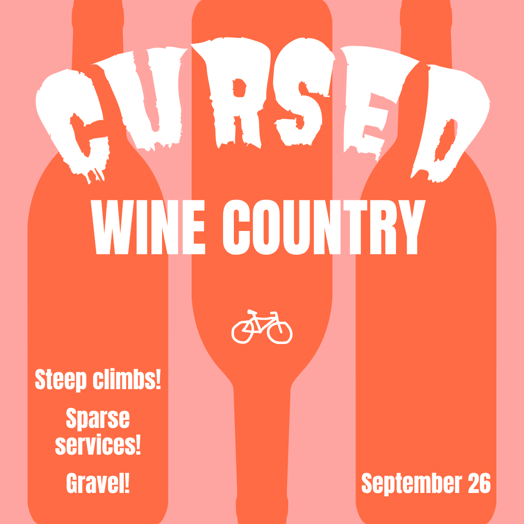
This ride explores the less traveled byways through familiar country. Make no mistake, it goes harder than the stats show, with 68km of often loose washboard gravel, steep climbs and few services. Kick things off with a pleasant gravel climb and descent over Finnigan Hill on your way to Carlton and your first of only two resupply stops, the not-to-be-missed Carlton bakery (there's a full grocery in town too). Fuel and hydrate because your next services are 5-6 hours away for most riders. Four bottles recommended and maybe more if the weather is warm.
A memorable loop will then take you first up peaceful but often steep Baker Creek road and then back down to the valley floor on a challenging mixed terrain line using mostly gated forest roads. After that, get ready for more hilly gravel and shady hollows all the way north to Hagg Lake, passing the start of the Trask Toll Road en route. From Hagg, relax on a final stretch of flat roads back to the finish. Final resupply is the Lake Stop market after Hagg, not far from Forest Grove.
Gravel varies from smooth Cadillac to medium loose chunk with washboard, and there's a lot of it. 38mm minimum recommended tire size, run tubeless and at low pressure if possible. If you run smaller tires just proceed with caution and an extra spare tube. But you’ll be happier on fatter tires.
Gravel transitions are numerous and we all have brains and eyeballs, so surface type cues have been omitted to keep cue clutter low. This is a gravel route! Expect it.
To reiterate, there are no services for 95km between Carlton and the Lake Stop market, roughly 5-6 hours. There may be water in the Yamhill River at the crossing near Trask Toll road, but will be a scramble to reach if you opt for a filter. Carry three bottles and get one extra in Carlton, at least.
Some specific warnings to keep in mind:
Km 27.5: the King‘s Grade descent is very fast with a sharp right-hand turn onto gravel, keep it slow.
Km 32: watch out for rough washboard at the bottom of Tykeson Road descent.
Km 47.5: the Carlton bakery is just to the left of the route. The grocery is on the left on the route just before the right turn out of Carlton.
Km 68.8: be aware of closed gates at the bottom and the top of the Baker Creek Road climb. Also pay attention to the route as there are some unmarked roads turning off from the mainline that you need to ignore, but it's not tricky. When in doubt follow the most beaten path, which is also the one that keeps climbing. Feel free to curse the route maker on the steepest pitches, while practicing gratitude for the shady, leafy vibes surrounding you.
Km 76.4: the control is the bike route sign at top of the Baker Creek road climb, at a road junction. It is prominent and is the only sign in the area.
Km 79: be alert for gates at the top and bottom of the gravel segment of the drop from Baker Creek summit.
Km 85.5: the left turn onto Fircrest Road is very fast and transitions to gravel, keep it smart.
Km 90: there is a very steep (-18%) drop on low traction gravel on Fircrest.
Km 111.3: the control is another bike route sign at the junction with the Trask toll road.
Km 117.1: there is a primitive plank bridge over the Yamhill River, use caution on the parallel plank sections especially if running narrower tires.
11:20 total time (10:12 per RUSA calculator + 68mins gravel allowance)
Registration open until midnight 9/23/26.
Email to follow on 9/24/26 with waiver and cue sheet.
Check-in 6-6:55 a.m. Ride start: 7 a.m.